Ready to explore this trail?
View Trail Map in AppFollow all posted rules and restrictions at the trailhead entrance. Some of the tide pools can be closed at different times due to rehabilitation. Protect our wildlife and obey posted signs.
Path Type
Point to Point
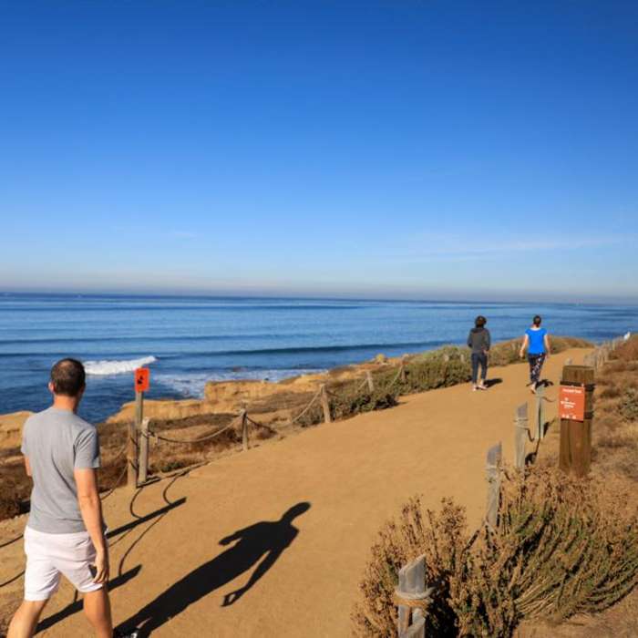
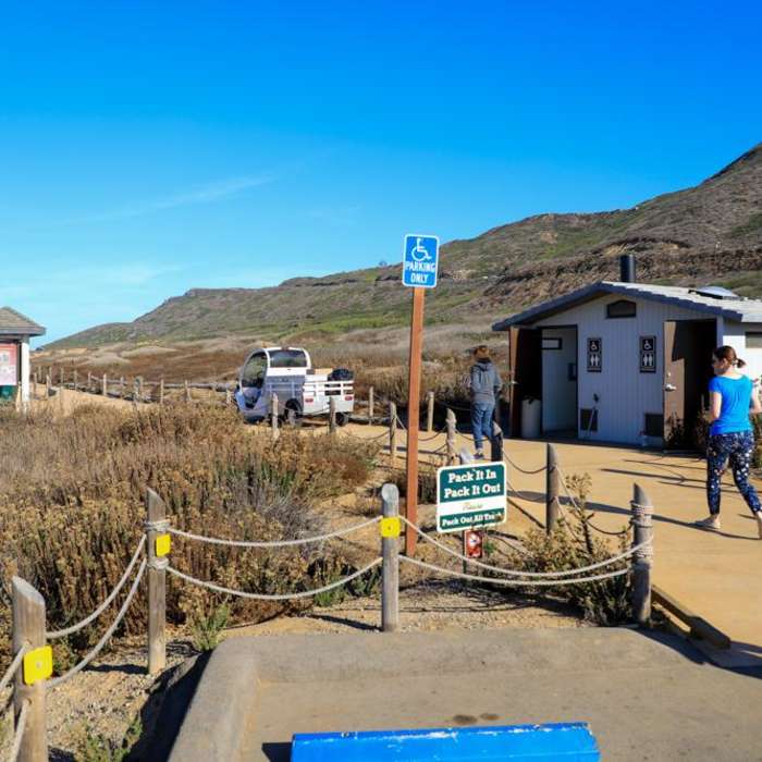
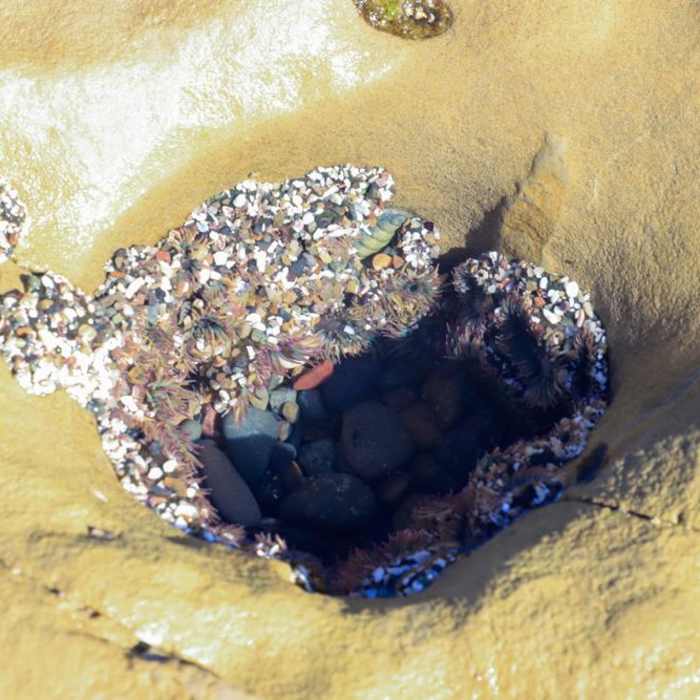
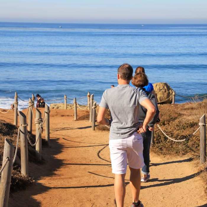
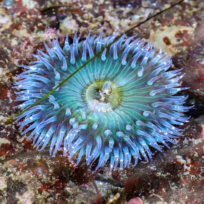
This trail can begin or end at either parking area, but the southerly parking area is larger and accommodates more cars. It is easy to follow and well-signed, with a surface that is mainly sand and rock with many steps that lead you up and down the rocky shoreline. The trail follows along the southern coast of Point Loma as you explore the tide pools and enjoy the birds and sea life.
Overall, it is fun for all ages and offers some unique formations created by heavy winds and the unrelenting surge of the Pacific Ocean. Although the trail is short and easy to navigate, it does travel over very uneven ground, so attention should be paid to footing when traveling along the rocky cliffs that form this section of coastline.
No Condition Reports
Tijuana River National Estuary & Coastline
Tijuana River National Estuary & Coastline
Beach Trail-Monument Loop
Beach Trail-Monument Loop
Tijuana River Marsh Loop
Tijuana River Marsh Loop
Fortunas Loop CCW from Tierrasanta
Fortunas Loop CCW from Tierrasanta
Scripps Coastal Reserve
Scripps Coastal Reserve
Mission Trails Loops
Mission Trails Loops
Contributors

