

Ready to explore this trail?
View Trail Map in AppPath Type
Point to Point
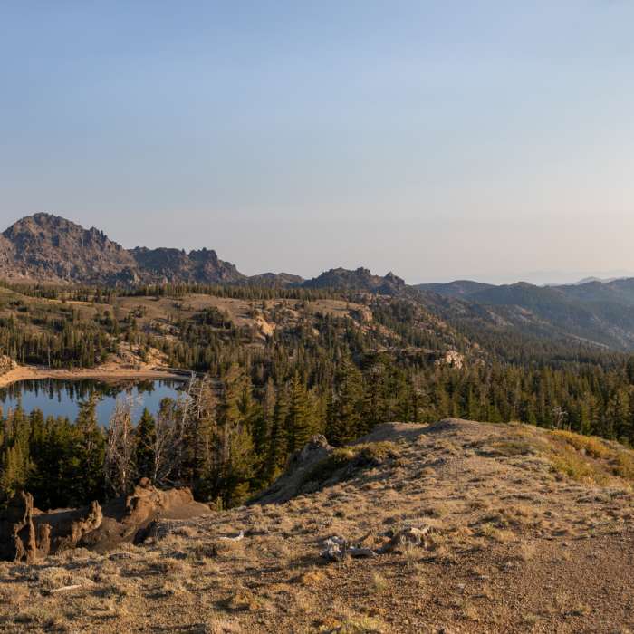
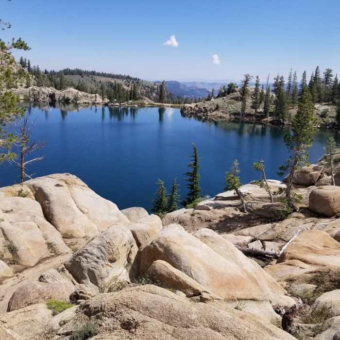
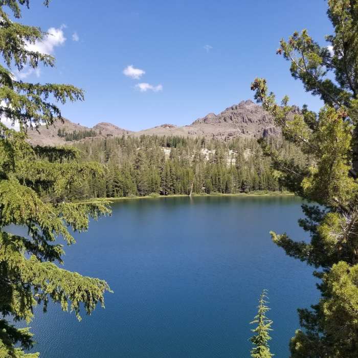
Pacific Crest Trail: California Section J is a 73-mile point-to-point section of the 2,650-mile Pacific Crest Trail (PCT) that extends from Sonora Pass to Echo Lake. This section of the trail is characterized by volcanic mountains and flower-filled meadows along a gentle terrain. Day hikers and section hikers will find this section easy to access due to numerous road crossings and trailheads. The trail is moderately rated, multi-use, and is open to runners, hikers, backpackers, and horseback riders. Heading north, this section begins with a climb up from Sonora Pass. The trail traverses lush forests and wildflower-filled meadows throughout the Carson-Iceberg Wilderness. In between Highway 4 and Highway 88, the trail dips in and out of the Mokelumne Wilderness. The PCT and Tahoe Rim Trail meet at Highway 50 / Echo Summit and remain together for approximately 22 miles. Two miles past Echo Summit is Echo Lake, which marks the end of this section. Carson-Iceberg Wilderness: Permits are required for overnight use. Mokelumne Wilderness: Permits are required for overnight use.
No Condition Reports
Sonora Pass to Lake Harriet
Sonora Pass to Lake Harriet
Leavitt Meadows to Long Lakes Out-and-Back
Leavitt Meadows to Long Lakes Out-and-Back
Secret Lake Trail
Secret Lake Trail
Eagle Creek to Peak
Eagle Creek to Peak
Ebbetts Pass to Carson Pass
Ebbetts Pass to Carson Pass
Upper Kinney Lake via PCT
Upper Kinney Lake via PCT
Contributors

