
Ready to explore this trail?
View Trail Map in AppPath Type
Point to Point
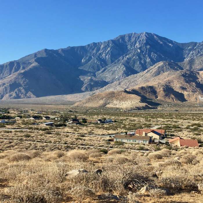
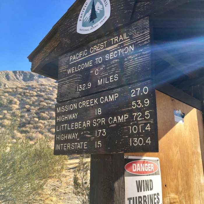
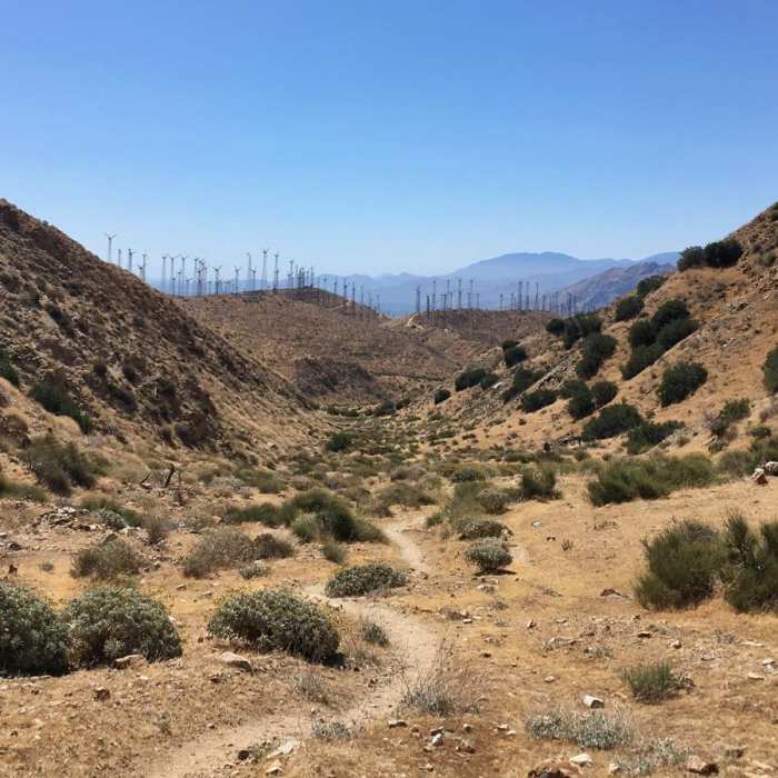
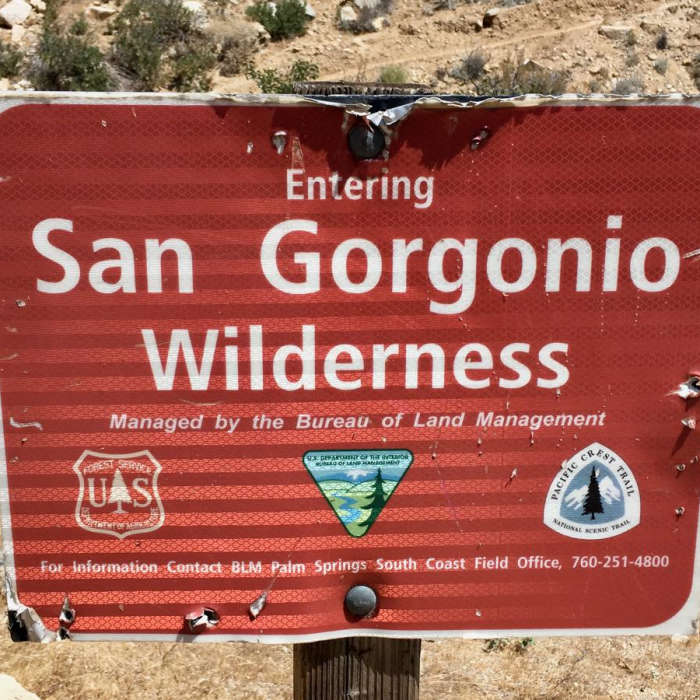
California Section C, Highway 10 to Highway 15. After leaving the Highway 10 underpass (near Cabazon) and Section B, the PCT travels near some residential neighborhoods until coming to Mesa Wind Farm. As of the 2018 season, Mesa offers hikers water and provides a small shaded area outside their office. During business hours they even welcome hikers inside where there is air conditioning and a refrigerator stocked with food and drinks that are available for purchase. After leaving Mesa Wind Farm it is a steep climb up a narrow valley. The scenery is beautiful, however. After reaching the top you'll descend into the San Gorgonio Wilderness Area. Before long you'll be greeted with views of the Whitewater River. After descending to the river there is the option to continue along the PCT or to head to the Whitewater Preserve (0.5 mile off trail). The Whitewater Preserve is well worth the side trip, especially if it's a hot day; the preserve has many nice shaded areas to rest. There are also three small ponds, one of which is a shallow wading pond that is perfect for a foot soak. In addition, there are restrooms with running water and a visitor center. Once you leave the preserve you'll trek alongside the Whitewater River through a dry riverbed for a short distance. After leaving the riverbed and ascending, there will be spectacular views of San Jacinto Peak. Around mile 223 there are a few exposed campsites that offer amazing 360-degree views. Catching a sunrise or sunset here is a must. Next it'll be a short descent down to Mission Creek. You'll follow this stream for quite a while as you head up a valley and gain considerable elevation. After the climb out of the Mission Creek Valley the landscape starts to become more forested. Before long you'll catch a glimpse of San Gorgonio (the tallest peak in Southern California). Several things of interest along this stretch of trail include Coon Creek Cabin, a private zoo, and a popular trail magic spot sponsored by Big Bear Hostel. The PCT crosses Highway 18 at mile 266.1. This is the most common place to hitch into Big Bear Lake. This large town has everything hikers need. Places are a bit far apart, however, and it may be a long walk depending on where you are going. If you want to save your legs for the trail, keep in mind that Uber is available here! Perhaps the coolest part of town is The Village. This cute district is home to many restaurants and small shops, and it even has live music during summer weekends. After Big Bear Lake there is a short detour around a section of PCT closed by the Holcomb Fire. Carrying on you'll soon get the first views of Big Bear Lake from the trail. A local ski area and San Gorgonio Mountain are also visible in the distance. The next big attraction on trail is Deep Creek Hot Springs. As you near PCT mile 300, the amount of day hikers will steadily increase. Deep Creek is appropriately named because it is quite deep and there are some fantastic swimming holes. The only trouble is getting down to them because the PCT travels along the upper canyon wall well above the creek most of the time. When you reach mile 307.9 there will be several side trails to the right that lead to Deep Creek Hot Springs. This is a lovely area, but it is also an extremely popular area. Don't be surprised if you see crowds of naked people here because clothing is optional. Also, this is a day-use only area. Although many people do camp here, it is illegal to do so and punishable by fine. After leaving the hot springs you'll enjoy several more miles of this beautiful Deep Creek Canyon before coming to the Mojave River Forks Dam, a large flood control dam. In another 10 miles you'll near Silverwood Lake. This is a large lake with several day-use sites. After leaving the lake there will only be one thing on your mind - McDonald's! The famous PCT McDonald's is located at Cajon Pass and is a must stop. Cajon Pass (Interstate 15) is also the end of California Section C. Remember to always practice Leave No Trace principles, pack appropriate gear, and to be prepared both physically and mentally. Happy Trails!
No Condition Reports
Sand to Snow Monument
Sand to Snow Monument
Cottonwood Canyon to Red Dome
Cottonwood Canyon to Red Dome
Fuller Ridge to San Jacinto
Fuller Ridge to San Jacinto
Canyon View Loop
Canyon View Loop
Mission Creek Lollipop
Mission Creek Lollipop
Round Valley Loop
Round Valley Loop
Contributors

