
Ready to explore this trail?
View Trail Map in AppOpen flame ban.
Path Type
Point to Point
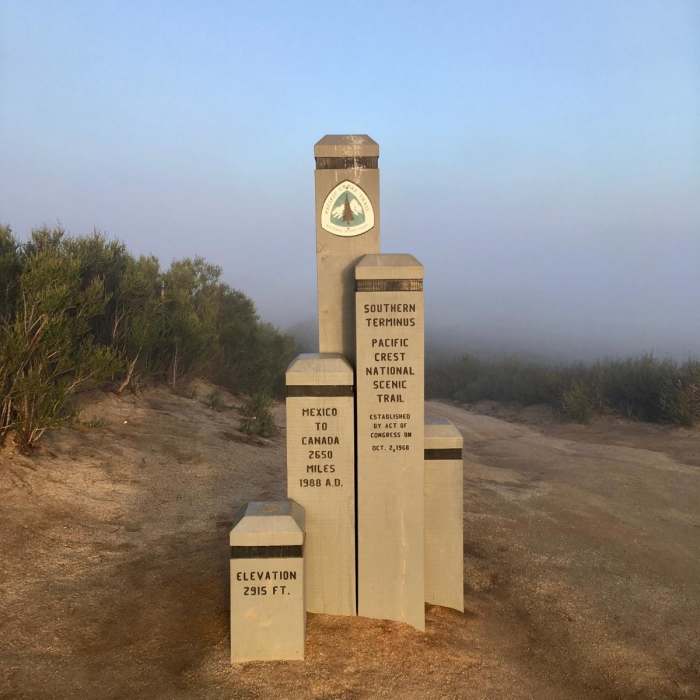
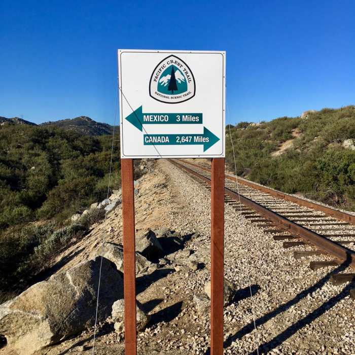
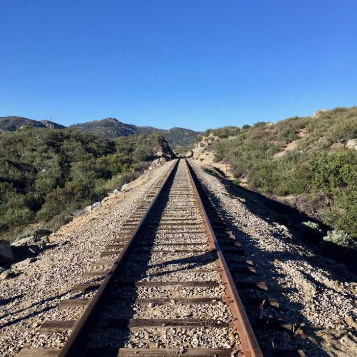
This 109.5-mile section runs from the Mexican border near Campo to Warner Springs. It is mostly desert, with long, winding trail that traces ridgelines and canyons. Terrain varies from easy to hard, and most hikers average 15-20 miles a day, with maybe one or two zero days for weather or medical issues. The biggest challenge is water: waterless stretches of 30 miles or more exist, so plan ahead and check the PCT Water Report. Caches often exist during thru-hiker season, but never rely on one alone.
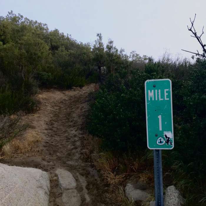
The trail starts just south of Campo and is fairly easy until the climb out of Hauser Creek at mile 15.4. If you arrive hot or low on water, consider saving that climb for evening or the next morning. Next is Lake Morena County Park, where many hikers spend their first or second night. A small malt shop in town offers burgers, pizza, and light resupply.
Past Lake Morena, the desert gives way to pine forest, a cooler change from the first 40 miles. Mount Laguna (about mile 42) is the first reasonably sized town for northbound hikers. It has a restaurant, post office, campground, lodging, and a general store with a large hiker box and ultralight gear. The town is a short walk off trail, and the signed distance may be shorter than the real one.
A few miles beyond Mount Laguna you get the first big views of the trail. Julian is not on trail. It is reached by hitching from Scissors Crossing (about mile 77). Julian is a touristy, moderately sized town with resupply, lodging, restaurants, and a post office. It is known for apple pie, and some businesses offer hikers free pie or discounts.
Leaving Scissors Crossing is a steep, hot climb, then the trail traverses mountainsides. The first water north is the Third Gate Cache (mile 91.2), which hikers generally consider reliable. After Barrel Springs (mile 101), the landscape opens into meadows and dry grassland. Eagle Rock, shaped like a bird, is on the right and is worth a photo stop.
The community center welcomes hikers with camping, restrooms, outlets, showers, laundry, and a small store. A building open day and night has a couch, kitchen, and one of the largest hiker boxes on trail. The town also has a post office, restaurant, and gas station mini mart. If you mail a resupply box here, send less food than you think you need and fill in from the hiker box and local stores.
No Condition Reports
Campo to Cottonwood Creek (PCT)
Campo to Cottonwood Creek (PCT)
Kitchen Creek Falls
Kitchen Creek Falls
Lawson and Gaskill Peaks
Lawson and Gaskill Peaks
Lawson Peak
Lawson Peak
Cottonwood Creek Falls
Cottonwood Creek Falls
Desert View Trail via Burnt Rancheria Campground
Desert View Trail via Burnt Rancheria Campground
Contributors

