



Ready to explore this trail?
View Trail Map in AppPath Type
There and Back
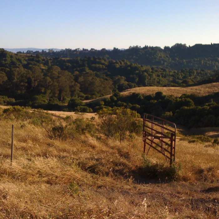
Located within Berkeley's Tilden Regional Park, the Nimitz Way Trail is justifiably one of the most popular day hikes in the East Bay, as the trail provides panoramic views of the entire Bay Area along the full length of the trail. Starting at Inspiration Point, the Nimitz Way Trail is actually a short section of the East Bay Area Ridge Trail and the 31-mile East Bay Skyline National Trail that runs along the length of the San Pablo Ridge from Wildcat Canyon Regional Park all the way south to Anthony Chabot Regional Park in Castro Valley. The Nimitz Way Trail is a roughly 8-foot wide paved trail (a default fire road) used by hikers, joggers, bicyclists, and horseback riders. Note: Hiking on the Inspiration Trail to San Pablo Reservoir or any other entry into the East Bay Municipal Utility District (EBMUD) watershed requires a hiking permit, and dogs are not permitted.
No Condition Reports
Tilden Park Loop
Tilden Park Loop
Lake Anza Trail
Lake Anza Trail
Peace Circle: Wildcat Peak from Little Farm
Peace Circle: Wildcat Peak from Little Farm
Wildcat Peak, San Pablo Reservoir, and Inspiration Point Loop
Wildcat Peak, San Pablo Reservoir, and Inspiration Point Loop
Arroyo Trail
Arroyo Trail
Jewel Lake Loop
Jewel Lake Loop
Contributors

