


Ready to explore this trail?
View Trail Map in AppWilderness permits are required for overnight camping in Sequoia & Kings Canyon National Parks. Fees and regulations may vary depending on the time of year. For updated information about wilderness permits please visit: https://www.nps.gov/seki/planyourvisit/wilderness_permits.htm. To make a permit reservation please visit www.recreation.gov. Overnight parking is available at Roads End between May - November.
Path Type
Loop
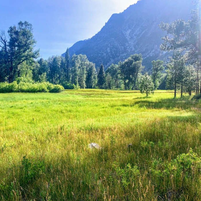
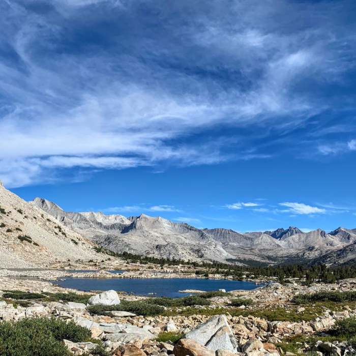
The Kings Canyon Loop is a 72.3-mile route through Kings Canyon National Park. The route combines several different trails to create a long, multi-day adventure through the heart of the Sierra Nevada. It features steep mountain passes, alpine lakes, lush meadows, waterfalls, wildflowers, rushing rivers, and more. This is a challenging backpacking trip featuring short sections through remote areas that traverse along rugged and unmaintained trails. A trip along this loop would be ideal for an experienced backpacker looking to get away from the crowds in the national park for a beautiful and challenging adventure.
This route is designed as a loop to minimize logistical concerns regarding resupply and transportation. You can leave your car at Roads End, take the food you need for the journey, and enjoy an epic walk through a magnificent mountain range along a route that will lead right back to your car (Please note that Roads End is usually closed from May to mid November). The route described in this post is completed in a clockwise direction, but either way would be fine.
TRAILS USED: Copper Creek Trail - Simpson Meadow Trail - Upper Middle Fork Trail - Pacific Crest Trail - Woods Creek Trail
SAMPLE 6 DAY ITINERARY: Day 1: Roads End - Granite Basin: 10 miles. Day 2: Granite Basin - Simpson Meadow: 13 miles. Day 3: Simpson Meadow - Palisade Creek/Pacific Crest Trail: 9 miles. Day 4: Pacific Crest Trail - Upper Basin: 11 miles. Day 5: Upper Basin - Woods Creek: 16 miles. Day 6: Woods Creek - Roads End: 13.3 miles
RIVER CROSSINGS AND TRAIL CONDITIONS: https://www.nps.gov/seki/planyourvisit/trailcond.htm.
No Condition Reports
Roads End to Grouse Lake
Roads End to Grouse Lake
Goat Mountain via Copper Creek Trail
Goat Mountain via Copper Creek Trail
Copper Creek Trail
Copper Creek Trail
Copper Creek to State Lakes
Copper Creek to State Lakes
Mist Falls
Mist Falls
Kanawyer Loop Trail
Kanawyer Loop Trail
Contributors

