
Ready to explore this trail?
View Trail Map in AppPath Type
There and Back
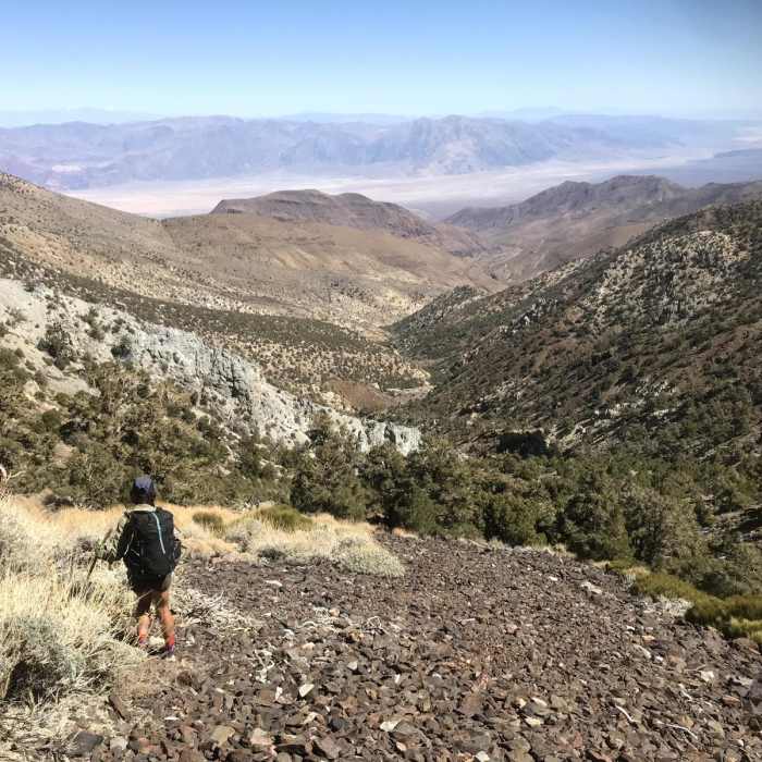
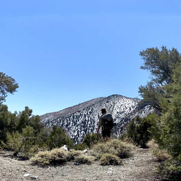
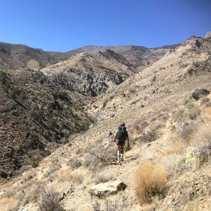
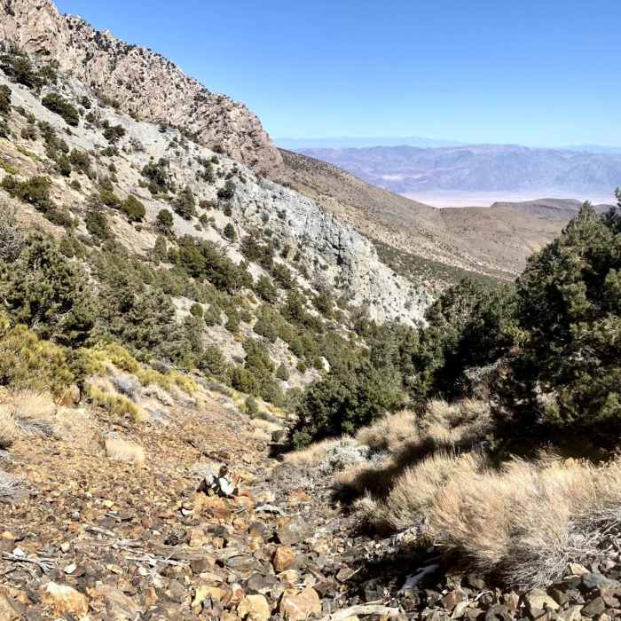
Starting in Death Valley, this 28-mile out-and-back leads through Johnson Canyon and ascends nearly 7,000 feet to Panamint Pass at the end of the canyon. The first (and last) 11 miles are along Johnson Canyon Road, a backcountry dirt road. The middle section climbs up and down along a rugged, unmaintained, cross-country trail. Panamint Pass is the turnaround point where you will retrace your steps, descending the steep, rocky terrain back to the start. With its flowing springs and perennial streams, Johnson Canyon is an important habitat for a number of plants and animals, including some that are currently threatened or endangered, such as the desert bighorn sheep. Also within the canyon, the route passes by Hungry Bill's Ranch, named after a Shoshone man who lived there with his family in the late 1800s.This is a strenuous route best suited for experienced hikers looking for a rugged backcountry adventure. Note that the conditions of the trail, as well as the availability of water, can vary from year to year. Be sure to check with the local land management agency for the most current information before heading out. TRAILHEAD LOCATIONJohnson Canyon is located off of West Side Road, one of several backcountry roads within the Death Valley Wilderness. CAMPINGNo camping allowed within the first 2 miles of Johnson Canyon. WHEN TO VISITTo avoid extreme temperatures, spring and fall are likely to be the best seasons.CONSIDERATIONSYou may encounter some motor vehicles along Johnson Canyon Road.Taking this route involves extreme changes in elevation and varying degrees of temperature. ADDITIONAL INFORMATIONNPS - Backpacking Death ValleyGhost Towns of Death ValleyDeath Valley Backcountry and Wilderness Access Map
No Condition Reports
Telescope Peak from Hanaupah Canyon
Telescope Peak from Hanaupah Canyon
Hanaupah Canyon
Hanaupah Canyon
Hanaupah Canyon Road
Hanaupah Canyon Road
Badwater Basin Crossing
Badwater Basin Crossing
Badwater Basin
Badwater Basin
Dante's View Trail
Dante's View Trail
Contributors

