Ready to explore this trail?
View Trail Map in AppHot in the summer.
Path Type
There and Back
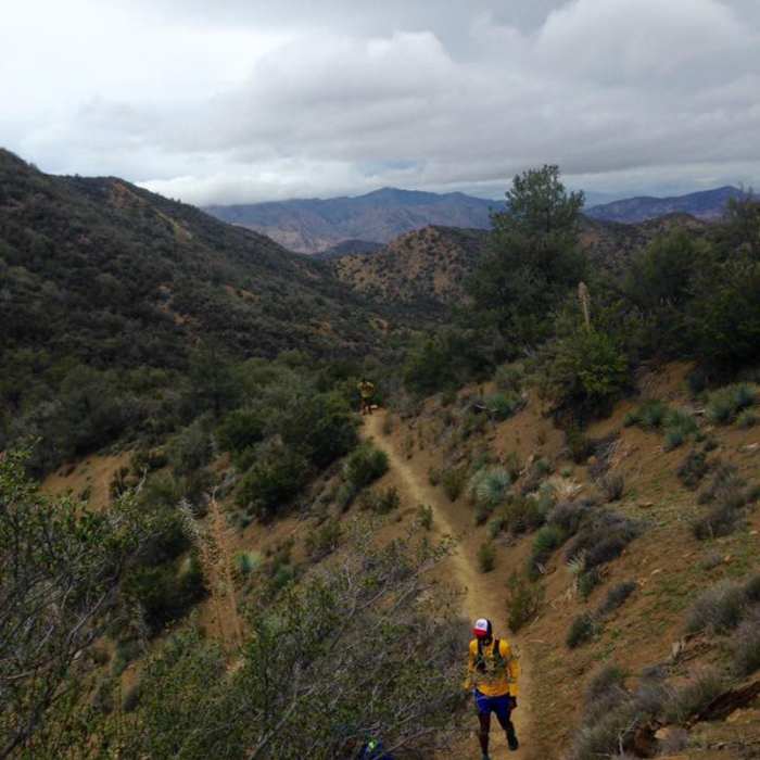
The Gene Marshall-Piedra Blanca Trail is a National Recreation Trail, The trail can be accessed from four locations: The Piedra Blanca Trailhead at the end of Rose Valley Road, Reyes Creek Campground, Cedar Creek Trail/Fishbowls Trail and the Reyes Peak Trail from Pine Mountain. I recommend starting from the Piedra Blanca Trailhead. First cross the wide stream-bed of Sespe Creek and take the trail to the left. After 0.4 miles turn right at the junction. This will bring you through the impressive white rocks and to Piedra Blanca Camp after 2.1 miles. A half-mile further will bring you to Twin Forks Camp, located across the creek from the trail. Continue 3.3 miles to Pine Mountain Lodge Camp; the trail is very steep in places but well worth the visit. This camp is nestled in the conifers and has a year round spring close by. From the junction at Pine Mountain Lodge Camp, the Piedra Blanca Trail continues northwest to Three Mile Camp. The trail passes through Haddock Camp then to Bear Trap Camp , and Upper Reyes Creek Camp and finally the trail ends at the Reyes Creek Campground.The Cedar Creek Trail (21W10) proceeds northeast from Pine Mountain Lodge to Fishbowls and Cedar Creek Camps in the Mt. Pinos Ranger District.Another option is to start from the Reyes Creek Trailhead (elev. 4000 ft., with paved parking, vault toilet and small pipe corral) at the end of Forest Service Rd. 7N11 (Camp Scheideck Rd.). The trail ascends an unnamed drainage for 2.5 miles through oak and chaparral until reaching a saddle and then descending 0.5 miles towards Reyes Creek and Upper Reyes camp (elev. 4675 ft.). This camp has 2 stoves, one on either side of the year-round creek.
No Condition Reports
Piedra Blanca to Pine Mountain Lodge Camp
Piedra Blanca to Pine Mountain Lodge Camp
Piedra Blanca to Haddock Camp
Piedra Blanca to Haddock Camp
Sespe Hot Springs via Sespe River Trail
Sespe Hot Springs via Sespe River Trail
Lion Canyon
Lion Canyon
Horn Canyon Trail
Horn Canyon Trail
Gridley Trail to Nordhoff Peak
Gridley Trail to Nordhoff Peak
Contributors

