Ready to explore this trail?
View Trail Map in AppPath Type
There and Back
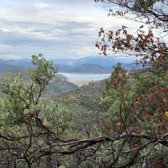
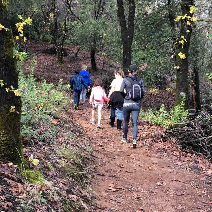
This is a great route for hikers seeking worthwhile viewpoints. There is lots of shade, a bench halfway from the parking lot, and a picnic table at the peak. However, there are no restroom facilities at the parking lot. Starting at the parking lot at the end of Flanagan Rd, follow Flanagan Trail until reaching a Y-intersection (a bench is located here). Continue on the Chamise Peak Trail. Stay on the Chamise Peak Trail when you encounter another spur trail that returns to Flanagan Trail. Each of these intersections are marked with white BLM sign poles, with trail names and direction arrows. The trail switchbacks to Chamise Peak, and then spirals around the hill to end at a picnic table on top. Be sure to enjoy the great views of Shasta Dam, Lassen, and the Sacramento River as you work your way along the spiral as well as on the peak.
No Condition Reports
Boulder Creek Falls (South Shore Drive Access)
Boulder Creek Falls (South Shore Drive Access)
Kanaka Peak
Kanaka Peak
Brandy Creek Falls
Brandy Creek Falls
Crystal Creek Falls
Crystal Creek Falls
Whiskeytown Falls
Whiskeytown Falls
Lake Anna via Long Canyon
Lake Anna via Long Canyon
Contributors

