Ready to explore this trail?
View Trail Map in AppPath Type
Point to Point
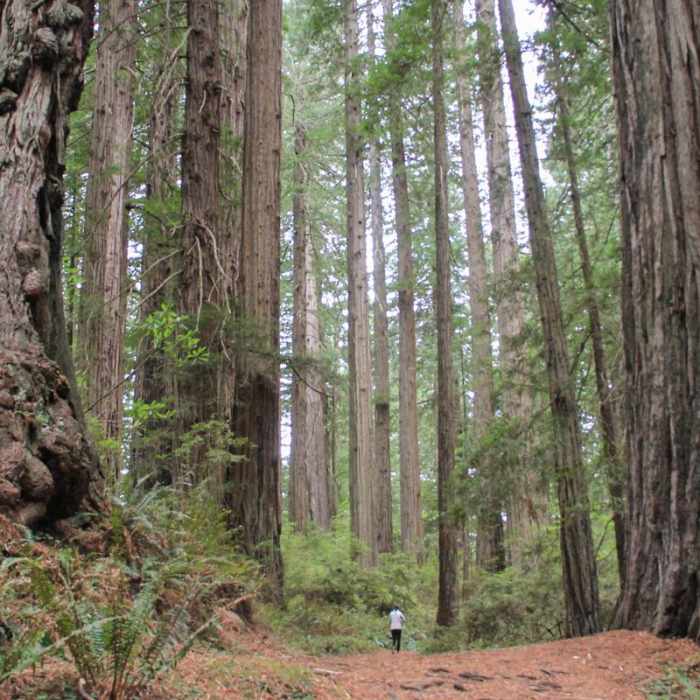
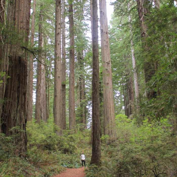
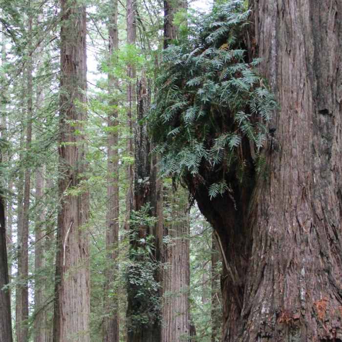
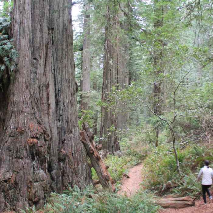
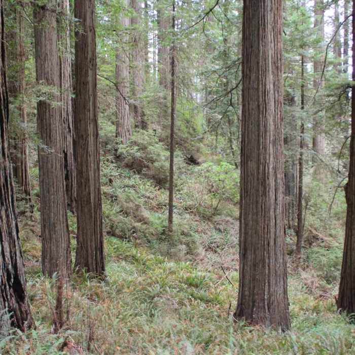
From the trailhead, follow signs for the Damnation Creek Trail. At the 0.5 mile mark, you'll intersect with the Coastal Trail. Stay to the right (the uphill path) for another 0.1 miles until you intersect with the Coastal Trail again. At this point, follow the sign for Damnation Creek Trail. It's all downhill from here! Enjoy the Coast Redwoods that surround the trail, and watch as the vegetation begins to change as you get closer to the salty air. The path will level out, and a short jaunt through tall grass will give way to the beach.
No Condition Reports
Yurok Loop Trail
Yurok Loop Trail
Klamath River Overlook
Klamath River Overlook
Boy Scout Tree Trail
Boy Scout Tree Trail
Stout Memorial Grove
Stout Memorial Grove
Hope Creek/Ten Taypo Loop
Hope Creek/Ten Taypo Loop
Fern Canyon
Fern Canyon
Contributors

