Ready to explore this trail?
View Trail Map in AppPath Type
Point to Point
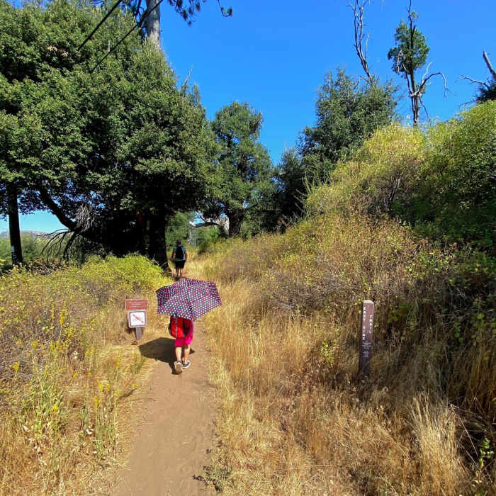
Park at the Sweetwater Parking Lot and cross the nearby bridge on Highway 79 to catch a mostly shaded stretch of the West Side Trail that parallels the highway. Usually, you can hop right over the stream that the bridge crosses, but there is a small detour available if the water level is high.After 0.5 miles, turn onto the Monument Trail at a well-marked junction. This exposed and somewhat rocky section ascends steadily with good views. At the fork at the 2 mile mark, veer right onto the West Mesa Trail. After another 0.2 miles, you'll come to the airplane monument. This is a good lunch spot with a view, despite the bees, which didn't seem interested in us or our food.From the monument, the terrain narrows and become less interesting. The Japacha Fire Road return is rocky but offers a mix of views and shade.
No Condition Reports
West Mesa Loop
West Mesa Loop
Cuyamaca Peak
Cuyamaca Peak
Stonewall Peak Loop
Stonewall Peak Loop
Stonewall Peak
Stonewall Peak
Minshall Trail to Stonewall Mine Loop
Minshall Trail to Stonewall Mine Loop
Cuyamaca State Park Loop
Cuyamaca State Park Loop
Contributors

