Ready to explore this trail?
View Trail Map in AppPath Type
Loop
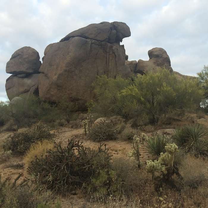
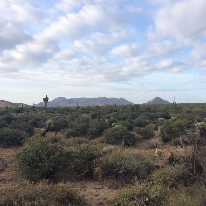
Starting out from the trailhead, take Brown's Ranch Road to the north about a mile then hang a right on Vaquero Trail.Vaquero Trail is soft rolling singletrack for about a mile where it ties into the powerline road. Hang a left on the power line road and hike about 300 feet to Chuckwagon Trail.Turn left on Chuckwagon Trail and cruise up a slight incline over wide singletrack for about a mile. Hang a left at the sign on Cholla Mountain Loop Trail. Hike the loop clockwise all the way around (about 3 miles) then turn south (left) on Watershed Trail.After about 1/2 mile turn right on Maverick Trail for a quick 1.4 back to the fire road and the way home.This is a super easy set of trails. Maps are available at the trailhead as are water and bathrooms. All roads lead back to the trailhead, so if you make a wrong turn, just keep going. The longest section before and intersection is about a mile.
No Condition Reports
Pinnacle Peak
Pinnacle Peak
Granite Mountain Loop
Granite Mountain Loop
Coyote Canyon Loop
Coyote Canyon Loop
Tom's Thumb
Tom's Thumb
Windgate to Bell Pass Loop
Windgate to Bell Pass Loop
Tom's Thumb from Gateway
Tom's Thumb from Gateway
Contributors

