
Ready to explore this trail?
View Trail Map in AppPath Type
Loop
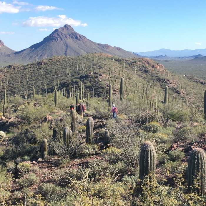
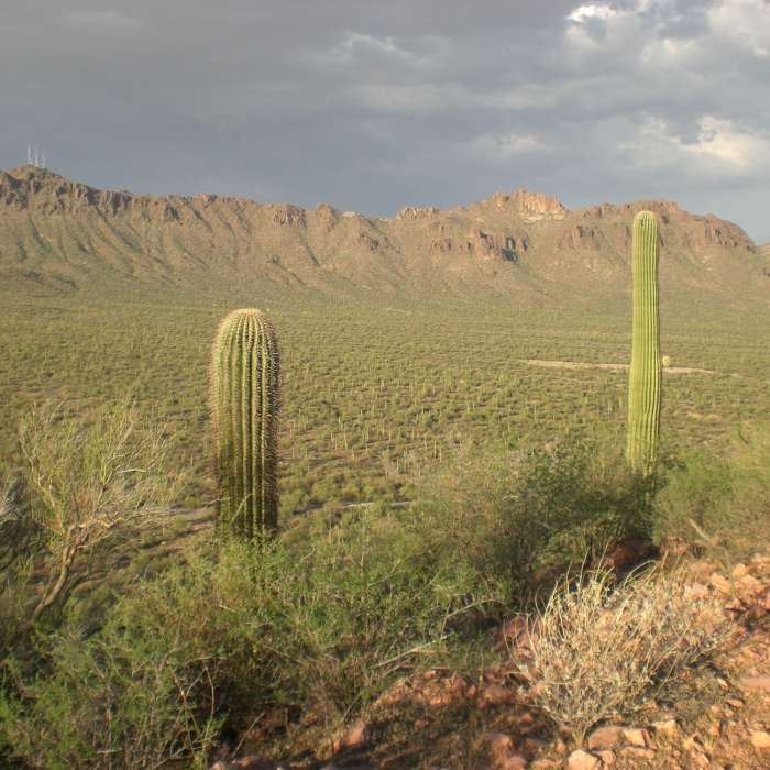
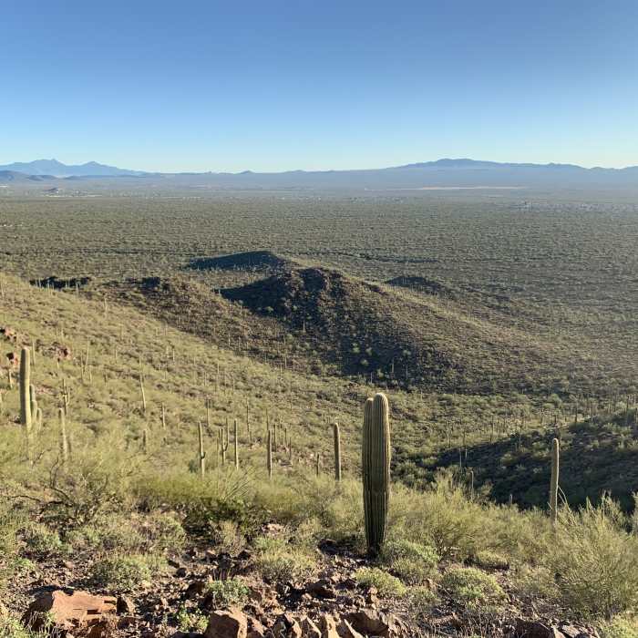
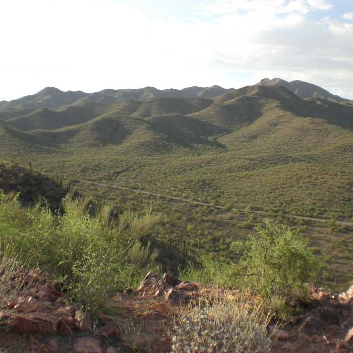
This trail is part of the Tucson Mountain Park trail system. It is a fun combination of desert floor hiking on the east side and rocky technical climbing and descending on the ridge. There are some great views from on top of the ridge.
Starting at the trailhead, you climb up and get a view of the Gilbert Ray Campground Trail. From here, you'll encounter some ups and downs and a few more peaks with different views of the surrounding area including Saguaro National Park to the north.
When you finally get to the end of the ridge, you'll see Arizona-Sonora Desert Museum. From here, you'll start heading down and come to a few intersections leading to the trailhead and picnic area just before the Arizona-Sonora Desert Museum.
The routes are not marked well, but the trail seems to be heavily used. Find the trail that heads back toward your original starting point and follow that on the relatively flat route that parallels Kinney Road back to the trailhead.
No Condition Reports
Wasson Peak Circle Route
Wasson Peak Circle Route
Thunderbird Trail
Thunderbird Trail
Wasson Peak Summit
Wasson Peak Summit
Wasson Peak - Hugh Norris
Wasson Peak - Hugh Norris
Wildflower Ridge Loop
Wildflower Ridge Loop
Rock Wren Trail
Rock Wren Trail
Contributors

