
Ready to explore this trail?
View Trail Map in AppBears are common in this area, be aware and make noise as your travel.
Path Type
Point to Point
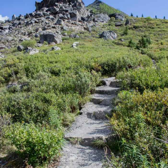
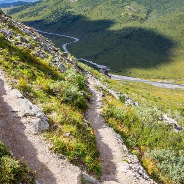
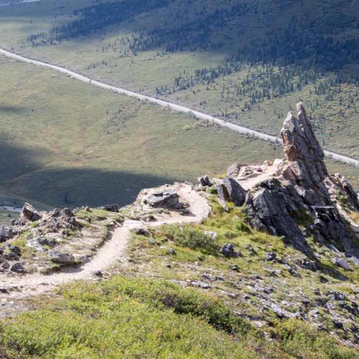
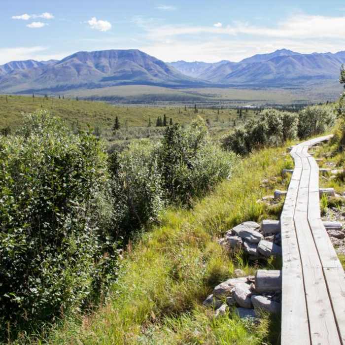
Starting from the Savage River Campground, you'll either park your vehicle, disembark from the shuttle, or leave your warm sleeping bag behind. You'll need to cross the Park Road to really start your journey, so keep an eye out for posted signs directing you to the trail. The first portion of this route is a pleasant warm up, and you'll be hiking over mostly flat terrain. Take some time to take in the spectacular view, especially while the going is easy. Though you'll be moving through forests at first, soon enough you'll reach the tundra where spectacular views will open up in almost all directions. On a clear day, you'll have plenty of vistas that open up all the way to Denali. Even from 60 miles away, the incredible mountain looms over the surrounding ranges, making for spectacular photos. As you continue, you'll enjoy moving along this well-built trail as it continues to climb. You'll be climbing away from the drainage that the trail starts next to, but switchbacks will keep the going at a comfortable grade. Once you reach the ridgeline, you'll begin a westward trend. This continues to an open, spectacular view, and makes for a very scenic hike. By the time that you've reached the 2.5-mile marker, you'll have reached the high point in the hike, and you'll start a rather steep descent to the Savage River. This portion of the trail is a testament to the hard work of the trail crew, as there are beautifully built switchbacks that ease your travel over some challenging and rocky terrain. You'll make short work of the descent, and you'll soon find yourself at Savage Rocks. Continue past the rocks, to reach the Savage River Loop parking area and trailhead, where you'll embark on the Savage River Loop Trail. By the time that you've reached this loop, you'll have knocked out the most difficult portions of the journey, and you'll be able to enjoy this more mellow portion of the hike. Start working your way to the north. The trail is well defined, so you'll have plenty of opportunities to take a look around you at the spectacular scenery and wildlife. Keep an eye out on your journey up the river for collared pika, marmots and Dall sheep, depending on the season. After about a mile, you'll come to a well-built bridge that will deposit you on the other side of the water. From here, you'll begin a journey heading south to return to the Savage River Trailhead. The trail remains easy to navigate and enjoyable. Once you find yourself back at the trailhead, take off your pack and rest while you wait for the next Savage River Shuttle, which you can take free of charge to return to the Savage River Campground. If you've arrived after the shuttle has stopped running or want to extend your journey, you can also travel back to your starting point via the park road. You'll still enjoy many great views, and the road isn't heavily traveled, so you won't be interrupted by auto traffic.This content was contributed by author Ike Waits. For a comprehensive hiking guide to Denali National Park and to see more by Ike, click here.
No Condition Reports
Savage River
Savage River
Antler Creek
Antler Creek
Mt. Healy From Bison Gulch
Mt. Healy From Bison Gulch
Mount Healy from Bison Gulch
Mount Healy from Bison Gulch
Denali National Park Visitor Center to Bison Gulch Hike
Denali National Park Visitor Center to Bison Gulch Hike
Mt. Healy Out and Back
Mt. Healy Out and Back
Contributors

