Ready to explore this trail?
View Trail Map in AppRegional Classic
A must do route for the area handpicked by local experts.
A Denali National Park climbing permit ($350-$450) is required, with registration at least 60 days in advance and mandatory ranger orientation in Talkeetna.
Path Type
There and Back
This is a mountaineering route. Above 14,200 feet, climbers rope up for glacier travel with crampons and an ice axe, then clip into fixed ropes on the headwall above 15,800 feet to reach the ridge near 16,200 feet. Above 17,200 feet, the route crosses Denali Pass on a long, exposed, unprotected traverse known as the Autobahn — a leading cause of falls and fatalities on the mountain. Consult Climb Mode and Mountain Project for current fixed-line and route conditions before attempting this climb.
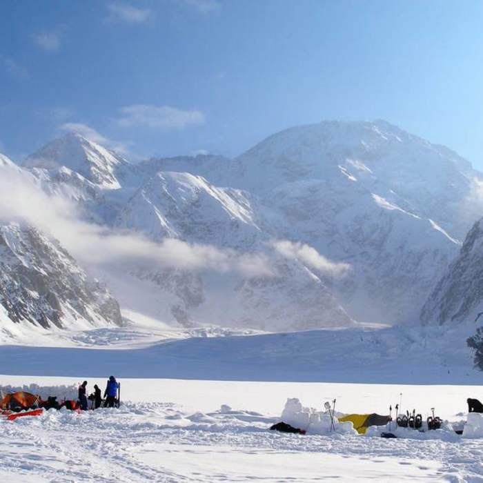
Day 0: Fly by ski-plane air taxi from Talkeetna to Kahiltna Base Camp (7,200'), on the Southeast Fork of the Kahiltna Glacier. This is the start and end of the route; there is no walk-in approach.
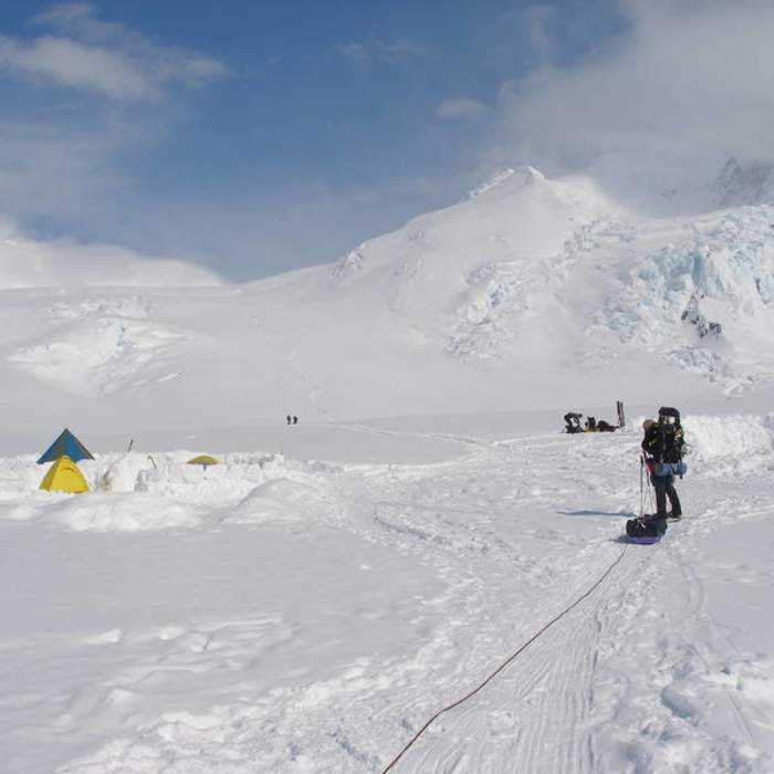
Day 1-2: Rope up and haul or sled gear 5.5 miles up the Kahiltna Glacier, gaining 1,000 vertical feet, to a camp at 7,800 feet. Continue over Ski Hill and past Kahiltna Pass (9,700'), 4 miles further, to a camp at 11,000 feet. Most parties cache a load partway and carry a second trip, adding a rest day here to acclimatize.
Day 3-4: Climb Motorcycle Hill and Squirrel Hill, then pass Windy Corner (13,615'), a wind-scoured shoulder exposed to rockfall and icefall, to reach 14,200 feet — 2.8 miles and 3,200 vertical feet above 11,000 feet. Most expeditions spend two or more nights here to acclimatize before the headwall.
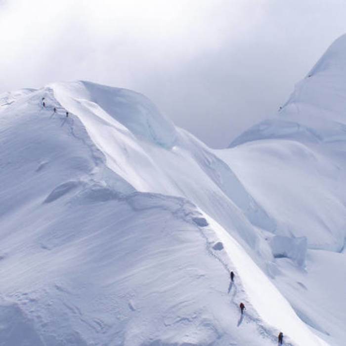
Crux: Above 14,200 feet, climb to the bergschrund at 15,800 feet, then clip into fixed ropes for about 600 feet of sustained, exposed climbing to the ridge near 16,200 feet. This is the technical core of the route — the lines are steep and often crowded, and falls here are a leading cause of serious injury. Continue up the ridge past Washburn's Thumb to High Camp at 17,200 feet, 1.8 miles and 3,000 vertical feet above 14,200 feet.
Crux: From High Camp, follow the Autobahn, a long, exposed traverse of hard snow and ice with no fixed protection on the standard route, to Denali Pass (18,205'). This traverse is where many falls and fatalities have occurred, particularly on the descent when climbers are fatigued; move deliberately and consider roping up here regardless of conditions elsewhere on the route.
Above Denali Pass, cross the Football Field, a broad, flat basin, then climb Pig Hill to the summit ridge. Follow the ridge past Archdeacons Tower to the true summit (20,308'), 2.5 miles and 3,120 vertical feet above High Camp.
Descend the same route. The Autobahn and fixed lines are typically more hazardous on the way down, when climbers are more fatigued and snow has often softened; build in weather days at each camp for the descent as well as the ascent. Register with Denali National Park at least 60 days before your climb and complete the mandatory ranger orientation in Talkeetna before flying to base camp.
No Condition Reports
Byers Lake - Hike to Beemans Cabin
Byers Lake - Hike to Beemans Cabin
Denali Viewpoint South
Denali Viewpoint South
Original Trail up K'esugi Ken Curry Ridge Trail
Original Trail up K'esugi Ken Curry Ridge Trail
Eielson Alpine Trail
Eielson Alpine Trail
Thorofare Pass Off-trail Route
Thorofare Pass Off-trail Route
Northern K'esugi Ridge via Little Coal Creek Trailhead
Northern K'esugi Ridge via Little Coal Creek Trailhead
Contributors

