
Ready to explore this trail?
View Trail Map in AppRegional Classic
A must do route for the area handpicked by local experts.
Permits are not required for parking or hiking, however, Cheaha State Park requires a daily gate admission fee.
Path Type
Loop
This route begins and ends at the Cheaha Lake Trailhead after reaching the summit of Cheaha Mountain.
Follow the Lake Trail from the trailhead, climbing steeply for 0.7 miles to reach the Rock Garden. Turn right and follow the Mountain Laurel Trail to reach Bunker Loop at 0.9 miles. Turn right onto Bunker Loop and follow the road south towards the State Park entrance.
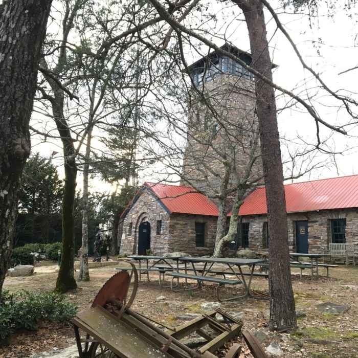
At 1.5 miles turn left onto the Cheaha Express trail. Keep left at 1.8 miles, upon reaching the fork with the Deer Run Trail. Continue on the Cheaha Express Trail, following it along the east side of the park. At 3.2 miles, turn left to take the Express Connector across the road towards the stone observation tower at the summit.
From the summit tower, head south through the parking lot, turning left at 3.5 miles to descend on the Bigfoot Trail. Reach Bunker Loop at 4.0 miles then turn right and follow the road towards the Mountain Laurel Trail.
Turn left at 4.5 miles onto the Mountain Laurel Trail, proceed though the Rock Garden to the top of the Lake Trail, and retrace your steps to descend to the trailhead.
Some Issues
All Clear
All Clear
All Clear
Looking for more condition reports?
Coldwater Trails - Inner Loop
Coldwater Trails - Inner Loop
Walker Bynum Tower Loop
Walker Bynum Tower Loop
Link Way to Wind Way Hills
Link Way to Wind Way Hills
Marian Harnach Nature Trail
Marian Harnach Nature Trail
Ruffner Ridge and Quarry Loop
Ruffner Ridge and Quarry Loop
Maggie's Glen Loop
Maggie's Glen Loop
Contributors

