The Ultimate Backcountry Ski & Splitboard App
Adventure is just a few taps away with our intuitive planning tool. With guidebook quality route descriptions, detailed maps, Slope Angle, and real-time weather you have all of the tools you’ll need to plan your winter tour.
Explore Snow Mode
Below is an interactive 3D map of Colorado’s Loveland Pass with our Slope Angle Layer toggled on. Use Control + Drag to rotate, tilt, and pan. Login or create an account to gain full functionality and find areas like this near you.
Login or create an account to gain full functionality.
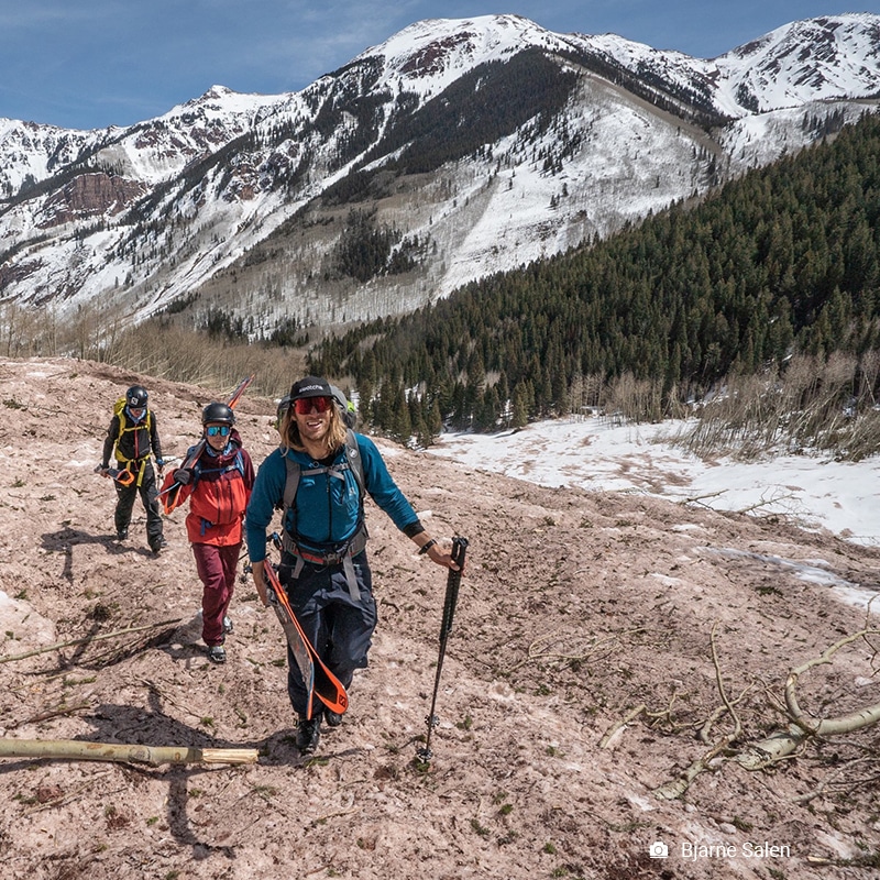
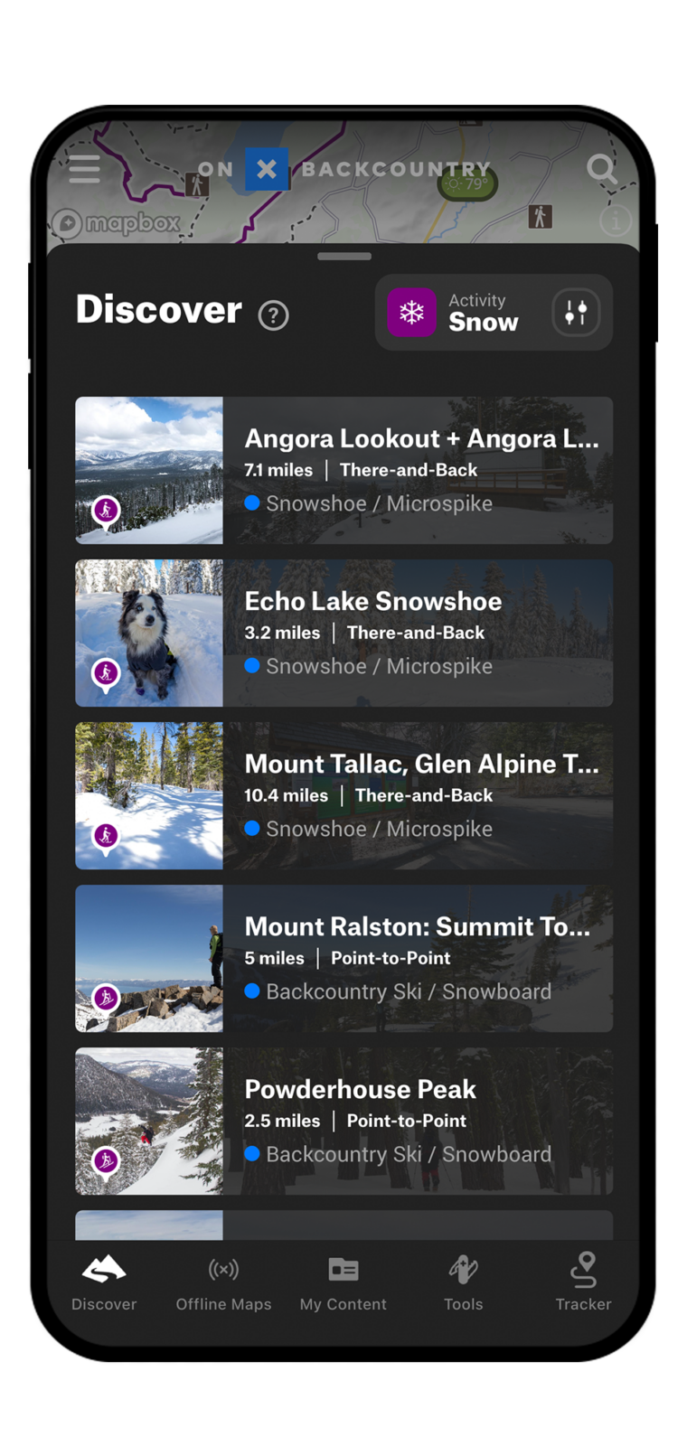
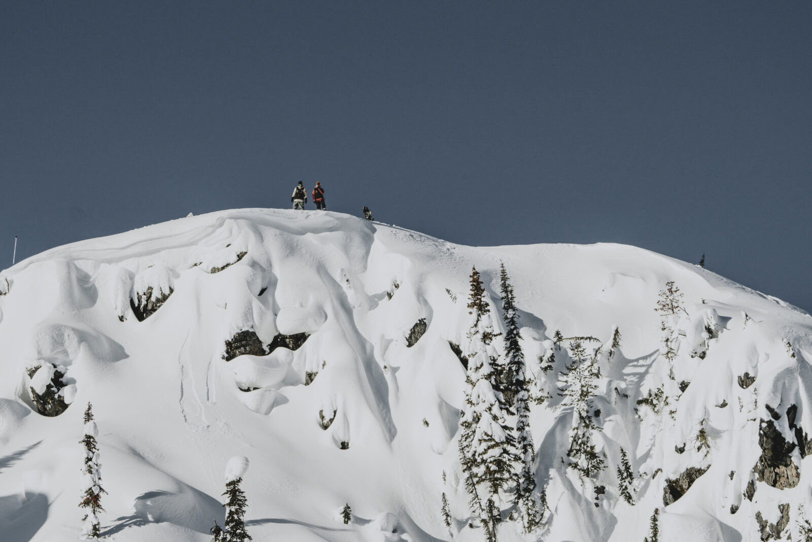
View Hundreds of Backcountry Ski and Splitboard Adventures
onX Backcountry has partnered with Colorado Mountain Club and Beacon Guidebooks to provide unparalleled access to popular backcountry ski routes. View them in our interactive 3D maps for optimal route planning.
Digital Guidebooks
This is your new go-to resource when backcountry skiing in Colorado or Washington. onX Backcountry has partnered with Beacon Guidebooks, leaders in backcountry ski guidebooks, to create a first of its kind digital experience which pairs their highly vetted ski lines with our set of critical avalanche safety and navigation information. Learn More

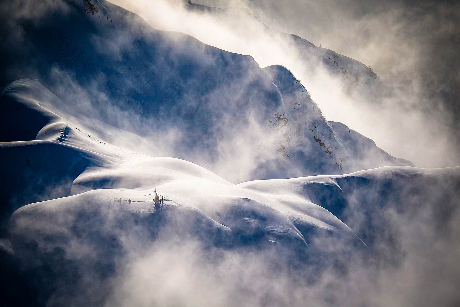
Winter Satellite Imagery
Winter aerial satellite imagery provides an in-depth look at what a mountain looks like with snowpack. Use this to evaluate safe zones, turnaround spots, and avalanche prone areas. Use satellite imagery in conjunction with our snow layers to help plan your route.
Avalanche Forecasts
In partnership with every U.S. based avalanche forecast center, daily forecasts are pulled into the App making it easy to read, drink your coffee, and plan your day’s tour.

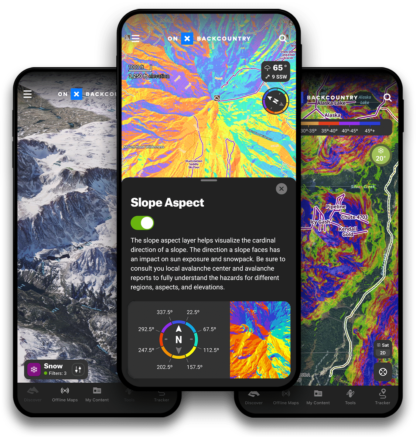
Slope Aspect
Absolutely integral to avalanche safety—slope aspect is the cardinal direction the slope of a mountain faces. Understanding this allows you to gauge how much sun exposure that slope experiences, how much snow it could hold, and how prone it is to slide. Learn More.

Slope Angle
This map Layer color-codes the angle of the slope on a given terrain feature with green representing lower angles and purple representing steeper. Mainly applied in a backcountry ski and splitboard setting, Slope Angle is the most vital measure of avalanche risk. Learn More.

SNOTEL Station Data
The best data source for current snow accumulation data in the mountains is SNOTEL (Snow Telemetry) which uses remote stations to measure snow depth, snow/water equivalent, and temperature. Learn More.
Tips & Tricks for using onX Backcountry
Tips & Tricks for using onX Backcountry
Overview | Tips For Planning a Backcountry Tour
Learn how to utilize:
– SNOTEL stations
– Tools for Wind Speed & Direction
– Avalanche Forecasts Layer
– Route Builder Tool
– Waypoints, Markups & Folders
– Sharing Functionalities
Avalanche Terrain Exposure Scale Layer
Slope Angle Shading Layer
Slope Aspect Shading Layer
Recent Imagery Tool
Terrain X Tool
Runout Zones Layer
Potential Release Areas Layer
Want To Dive Deeper?
If you want to become a master at using onX Backcountry, look no further!